
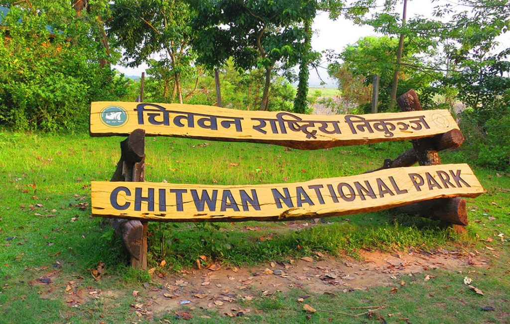
The flood, the climate, and where Chitwan actually stands
On august 26, a section of glacier broke off near the nepal-china border and came down through the bhote koshi and trishuli river corridors — rasuwa, nuwakot, dhading. water levels in those rivers rose by up to nine meters in half an hour. entire villages were gone before anyone could run. over a thousand people have died. thousands more are still missing.
we want to say clearly: this did not happen in chitwan. it happened more than 100km from here, on a different river system entirely. the rapti is where it always was. the park is open. the jungle is doing what it does in early autumn. happy lemon tree lodge is open and taking bookings.
but we didn't want to just post "we're open" and move on, because the flood itself deserves more than a footnote.
why this happened
geologists are still piecing it together, but the working theory is a rock-ice avalanche — a chunk of glacier falling from a great height, blocking a river, then that dam giving way all at once. the us geological survey traced it to a magnitude 5.2 glacial collapse, not an earthquake as first thought.
scientists are careful not to pin any single event on climate change without a formal attribution study. but they're not being careful about the trend. researchers studying the himalayas describe high confidence in more heat waves, faster glacial retreat, and shrinking permafrost — the exact conditions that make glacial lake outburst floods more frequent and less predictable. this wasn't even the first: a similar event hit the same border area in july 2025. the mountains we all come here for are visibly, measurably changing, and the people living closest to them are the first to pay for it.
what we're seeing here
day to day, chitwan looks like chitwan in september always looks. the rapti is running at its normal post-monsoon level — brown, full, unremarkable. safaris are going out on schedule, jeep and canoe both. rhinos have been showing up along the usual stretches, birdlife is thick this time of year, and the forest is doing the thing it does right after the rains stop, going loud and green before it dries out for winter. guests currently staying with us haven't changed a single plan because of the flood — most didn't know about it until we mentioned it. sauraha itself feels normal: shops open, guides working, the evening tharu dance still drawing a crowd. if anything, the mood among staff and neighbours here is less about the flood directly and more a quiet awareness that it happened in the same country, to people not so different from us, and that's worth sitting with even from a place the water never reached.
where else is open
worth saying plainly, since "nepal" keeps getting used as one word for a country this size: the flood corridor is rasuwa district, down through syabrubesi and the langtang approach. that's it. everything below is running normally, on different river systems, unaffected —
- kathmandu valley — tribhuvan international airport, durbar square, boudhanath, swayambhunath, all open, all normal. patan and bhaktapur too.
- pokhara — lakeside, the mountain views, everything running. the road in from kathmandu had a few days of closures right after the flood and has since reopened, with the odd short monsoon delay that has nothing to do with rasuwa.
- everest region — different river system entirely. lukla flights and the ebc trail are on schedule.
- annapurna region — annapurna circuit, annapurna base camp, poon hill, mardi himal, upper mustang — all unaffected, all open.
- manaslu — accessed from gorkha via a separate road and river system, running normally.
- lumbini — buddha's birthplace, well south of the flood zone, unaffected.
- bandipur and gorkha — the hilltop heritage towns, untouched, on established roads.
the one place we'd genuinely tell you to hold off on is langtang, including gosainkunda. syabrubesi, its main gateway, took real damage, and the road beyond dhunche is still restricted. if that was on your itinerary, talk to your operator about postponing it or swapping in something else — not cancelling nepal, just that one route.
pair chitwan with
if you're already coming to us, a few honest, easy add-ons outside chitwan that don't touch the affected corridor at all:
- pokhara, 4–5 hours by road or a short flight — lakeside, sarangkot sunrise, an easy stop before or after a jungle stay
- kathmandu valley, a day or two for the durbar squares and the stupas, bookending a flight in or out
- bandipur, a hill town between kathmandu and pokhara worth a night on its own if you have the time
- lumbini, if pilgrimage or buddhist heritage sites are part of the trip
- poon hill or mardi himal, for anyone who wants a short trek without committing to two weeks — both open, both far from rasuwa
happy to help put together a route if you tell us what you're working with — days, interests, whether you want mountains or valley or both.
why we're posting this at all
nepal is heading into its busiest travel window of the year, mid-september through mid-november, right as this hit the news. tour operators around the country are already seeing cancellations — not because their regions are affected, but because "nepal floods" reads, from far away, like the whole country went under. it didn't. everest, annapurna, pokhara, the kathmandu valley, and chitwan are all outside the affected zone and running as normal.
we understand the instinct to cancel a trip when the headlines look like this. we're just asking you to check which part of nepal a headline is actually about before you do.
if you want to help
the most useful thing right now is cash, not goods — it lets responders on the ground buy and move what's actually needed as the situation shifts. two channels we'd point you to:
- the prime minister's disaster relief fund, the government's official channel for rescue, treatment, relief, and rehabilitation, with audited accounts — donate at pmdrf.nchl.com.np
- the nepal red cross society, which has staff and volunteers doing evacuations, search and rescue, and emergency supply distribution on the ground — donate at donation.nrcs.org/donate
A word of caution: nepal police have already flagged fake donation qr codes circulating online using the pm fund's name. give through the official links above, not a screenshot someone sent you.
nepal is not closed. but part of it is grieving, and part of it is rebuilding, and we think both of those things can be true at the same time as chitwan being exactly as beautiful as it always is this time of year. come see it. and if you can, give something to the part of the country that needs it more than we do right now.